Architectural projects in Aldridge are shaped by three recurring factors: generous detached plots, proximity to the green belt and the village conservation area at the heart of the settlement. Most work involves extensions, remodelling and occasional replacement dwellings rather than dense infill. The constraints here are less about space and more about boundaries, character and policy.
Common project types in the area
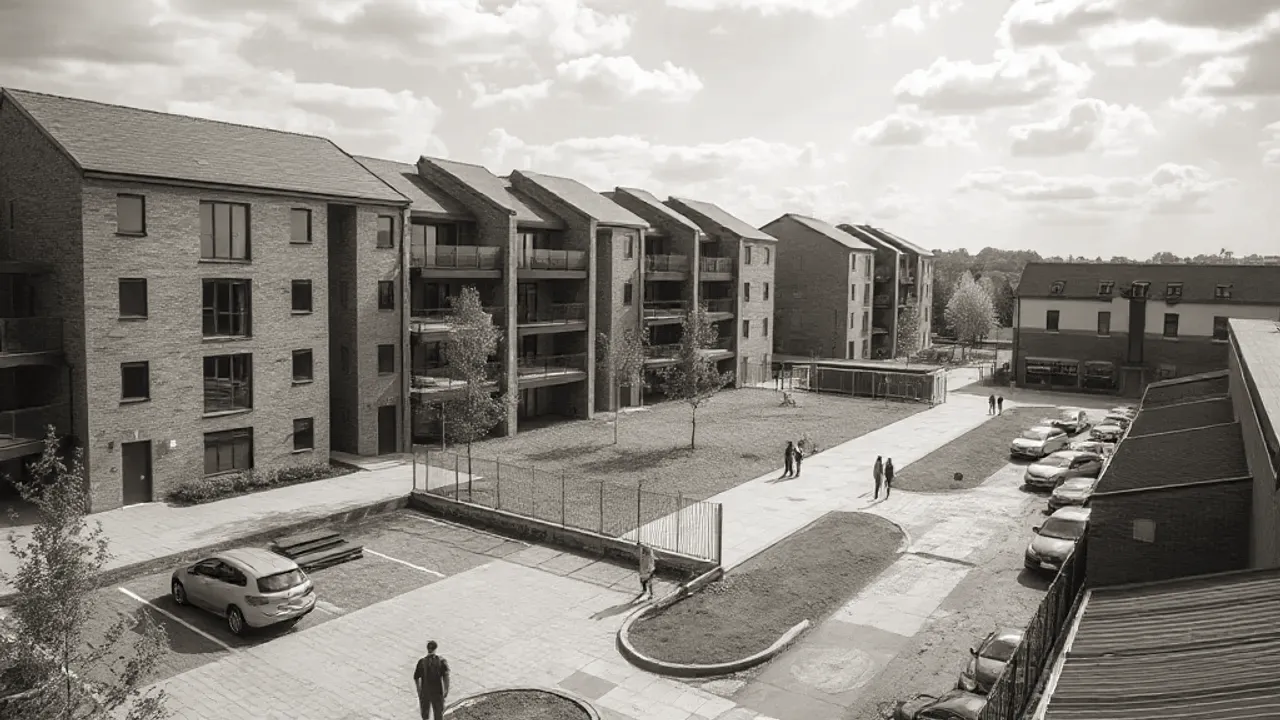
The housing stock around Aldridge is dominated by inter-war and post-war detached and semi-detached homes, with later suburban estates filling out the edges. This mix gives most schemes a fairly consistent starting point.
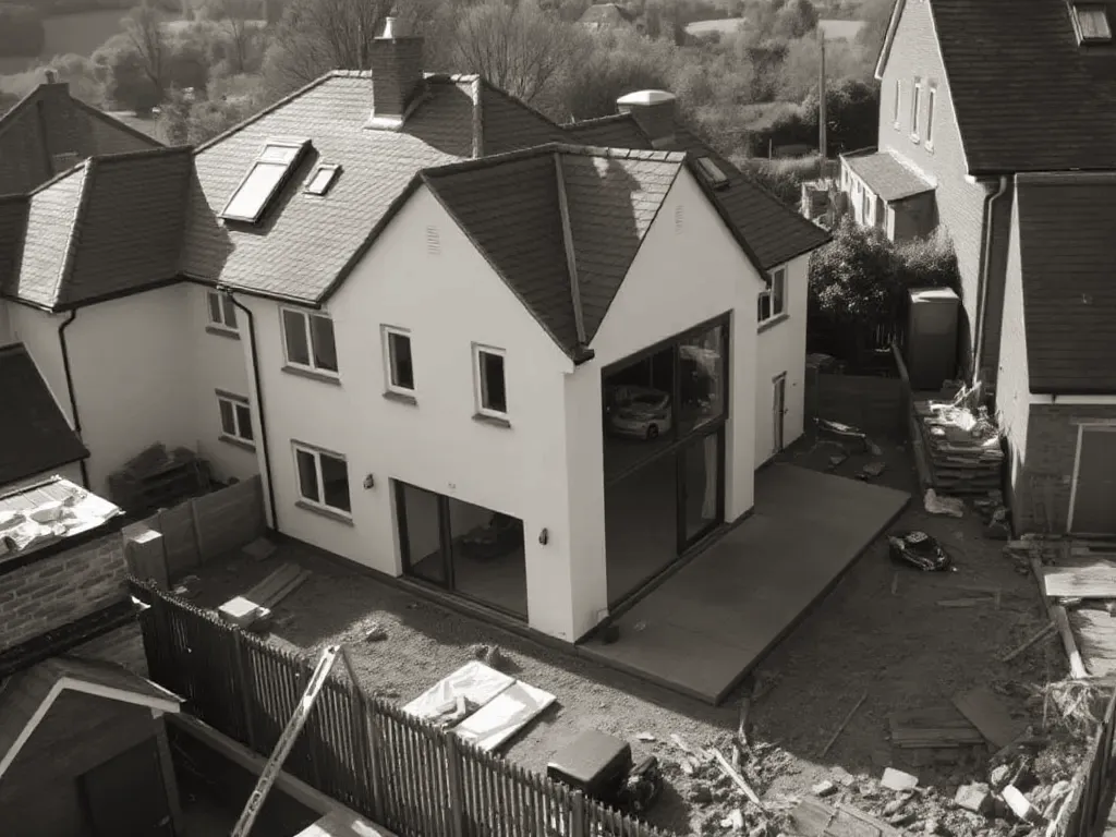
- Rear and side extensions to detached houses, often combining kitchen, dining and garden-room space.
- Two-storey extensions and over-garage additions where plot width allows.
- Loft conversions with rear dormers, common across the older housing.
- Garden outbuildings used as studios, gyms or home offices.
- Occasional whole-house remodelling or replacement on larger plots.
Replacement dwellings appear most often on the village fringes, where original bungalows or modest houses sit on plots that comfortably support something larger.
Green belt boundaries and what they mean for extensions
Most work involves extensions, remodelling and occasional replacement dwellings rather than dense infill.
Parts of Aldridge sit close to, or within, the West Midlands Green Belt — land kept open to prevent towns merging and to check sprawl. Where a property falls inside that boundary, planning rules are markedly stricter than in the wider built-up area.
In green belt, extensions and outbuildings must not be "disproportionate" to the original house. Local policy usually sets a percentage limit on volume increase above the dwelling as it stood at a fixed historic date. Replacement dwellings are allowed in principle but must not be materially larger than the building they replace.
Checking whether a plot is inside or outside the green belt is the first step, because it changes what is realistic. The boundary can run along a single road or rear garden line, so two neighbouring homes may face very different rules.
Designing for larger detached plots off the Walsall Road
The detached houses along and behind the Walsall Road sit on wider, deeper plots than typical suburban housing. This space gives more design freedom, but it also raises expectations about how a scheme relates to its setting.
On these plots, a designer will usually weigh the building line, separation from boundaries and the impact on neighbouring outlook. Single-storey rear extensions that step into the garden tend to read comfortably, while substantial two-storey additions need careful handling to avoid dominating the original house.
Mature trees are common on these sites and may carry Tree Preservation Orders, which restrict felling or pruning. Ground conditions also vary, so a structural engineer's input on foundations is often sensible before a layout is fixed.
How local planning policy shapes Aldridge proposals
Planning decisions here fall to Walsall Council, guided by its adopted local plan and any relevant national policy. The Aldridge conservation area adds a further layer, covering the historic village core where the council seeks to preserve and enhance local character.
Within the conservation area, more types of work require permission, and permitted development rights — the changes normally allowed without a full application — may be reduced or removed. Materials, rooflines and frontage details receive closer scrutiny, and original features are expected to be respected.
Outside the conservation area and green belt, many modest extensions can proceed under permitted development, though limits on height, depth and coverage still apply. Confirming the exact designations attached to a property early on helps set a realistic brief. A pre-application enquiry to the council can clarify how policy is likely to be applied before drawings are finalised.
Updated: June 2026